Warning: Name field for this section is disabled or deleted. This results in unexpected behaviour!

British Columbia Parks and Trails

Planning adventures in our British Columbia Parks and Trails

Parks, hiking trails, historic sites, heritage sites, rivers, lakes and natural areas in BC Canada

British Columbia parks and trails in Canada covers every type of landscape and seascape including mountain ranges, rivers, lakes, glaciers, forests, wetlands, wildlife, ecological and heritage. All play a big part in the creation of our BC parks system. Some of our BC Parks and heritage trails tells the long history of Canada. Others are for protection of wildlife, floral and fauna. Then there are those strictly designed for adventures and leisure living outdoors. There are over 11,400,000 hectares of BC parkland in Canada with over 2,700 kilometres of hiking and mountain biking trails.
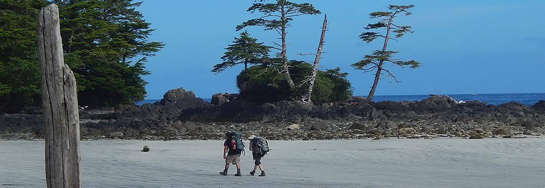
British Columbia Parks & Trails

Over 800+ BC Parks in the province 

There are over 800 or so British Columbia parks in Canada. This, by no means, is the total number of wilderness and recreation parks in British Columbia, Canada as there are many others that do not fall under the Provincial umbrella. Other parks in the province includes a few National parks and many smaller community, regional, hyro and forestry recreation parks located throughout the province. Only 12.5% of our province is protected by BC Parks and 0.6% is protected by National Parks.

British Columbia Parks and Trails in Canada Summary

British Columbia parks and trails are used for many occasions and activities. The Khutzeymateen Provincial Park is Canada's only grizzly bear sanctuary. The Tweedsmuir Provincial Park is British Columbia's largest provincial park covering 989,616 hectares. On Vancouver Island the 440 metre Della Falls in Strathcona Park is Canada's highest waterfall and is one of the ten highest falls in the world!

Parks are an important part of our province providing thousands an opportunity to enjoy the wilderness outdoors. It is said 6 out of 10 people living in BC visit a park every year.

The British Columbia parks and recreation sites are here for yours and our tourism enjoyment. Please help us care for them and respect them. Do not leave garbage behind. Do not feed the wildlife. Always ask questions on the services, amenities, fees and rules to live by when in the park.

British Columbia Parks and Trails in Canada

Click the BC Regions below to view parks, trails and places in that area.

A 5 km one way trail connecting Rathtrevor Provincial Park with Top Bridge Mountain Bike Park. It is a rough straight forward trail designed for walking and mountain biking.
Read more
Qualicum
Hiking trails exploring a 28 hectre park including a day use swimming area and picnic site. Trail systems interact with Trans Canada Trail and the Parkway Trail. Access from Harewood Mines Rd.
Read more
Nanaimo
mcleese_picnic
McLeese Lake is a destination that is popular year round. In the summer people enjoy water sports like swimming, boating, sun tanning, canoeing and fishing. Do you prefer land then there is hiking, camping, horseback riding and offroading in the surrounding hills
Read more
Williams Lake
kal
Kal Beach is one of the most easily accessible and one of the most popular sandy beaches on Kalamalka Lake in the area of Coldstream which is located south of downtown Vernon, BC in the North Okanagan Valley
Read more
Husband Road
Vernon
wiggins1
Wiggins Road Trail is accessible at the end of Wiggins Rd. The trail is not formally maintained, but remains a popular fishing spot for locals. The trail also connects to the Anvil Trail.
Read more
spruce_fringe_trail 006
Spruce Fringe Trail is an easy-going hiking trail located in the Pacific Rim National Park connecting visitors to Combers Beach. The trail is an up and down pathway located near the Villages of Tofino and Ucluelet, Vancouver Island, British Columbia, Canada.
Read more
Pacific Rim Highway
Tofino, Ucluelet
shorepine_bog_trail 005
Shorepine Bog is a hiking trail exploring a sensitive ecological system located in the Pacific Rim National Park near the Villages of Tofino and Ucluelet, Vancouver Island, British Columbia, Canada. A raised boardwalk trail navigates around shorepine trees and dwarfed shrubs including species like
Read more
Pacific Rim Highway
Tofino, Ucluelet
fly_fishing 002
Marble Canyon Provincial Park is a geological destination park located in a limestone canyon near the communities of Cache Creek and Lillooet, British Columbia, Canada. The canyon park rests in the middle of the Pavilion Mountain Range and includes three turquoise lakes & a campground.
Read more
Hwy #99
Cache Creek
jubilee_trail_trail03
Jubilee Trail is a moderately easy 9.5 kilometre route trekking along an old forestry logging road to some switchbacks leading up to the alpine treeline and then to the alpine peak of Mount Murray. Trail is enjoyed by hikers and cross country skiers.
Read more
Wells
canim_mahood_waterfall_trail_mahood_falls05
Canim - Mahood Waterfall Trail is a short, leisurely 1 kilometre hike along a very well maintained wheelchair access hiking trail leading to two, yes two, spectacular waterfalls.
Read more
Mahood Lake Road
100 Mile House
upana
Upana Caves, a spelunking destination, is located near the community of Gold River, BC on Vancouver Island, Canada. The caving destination provides over 100 caves. There are said to be around 1 000 known caves on Vancouver Island. Who knew? Most of these caves are found in what is called the Quatsi
Read more
nisga_tree_mould_trail1
Nisga’a Memorial Lava Bed Park and Nisga’a Memorial Lava Bed Corridor and Nisga’a Memorial Lava Bed Protected Areas (a.k.a. Anhluut’ukwsim Laxmihl Angwinga’asanskwhl Nisga’a) lava eruption covered over 18,000 hectares and included a 10 kilometre lava flow.
Read more
Nisga'a Highway
Terrace
lake 002
St. Mary Lake is popular for fishing, canoeing, swimming and birdwatching. The roads and mountains around St. Mary Lake are popular for hiking, cycling, mountain biking and hiking. The St Mary River enters and exits the lake. The exit river is a good put- in point for rafting.
Read more
Kimberley
oldgrowth1
Old Growth Alley interpretive route is a difficult trail located along Highway 16, a few minutes south of Crow's Nest store
Read more
bright
Bright Angel Park is located south of Duncan, BC and north of the Village of Cobble Hill in an area of the Cowichan Valley known as Cowichan Station on Vancouver Island. The off-the-beaten-path park is a recreation destination popular for hiking, swimming and picnicking.
Read more
Tigwell Road
Duncan